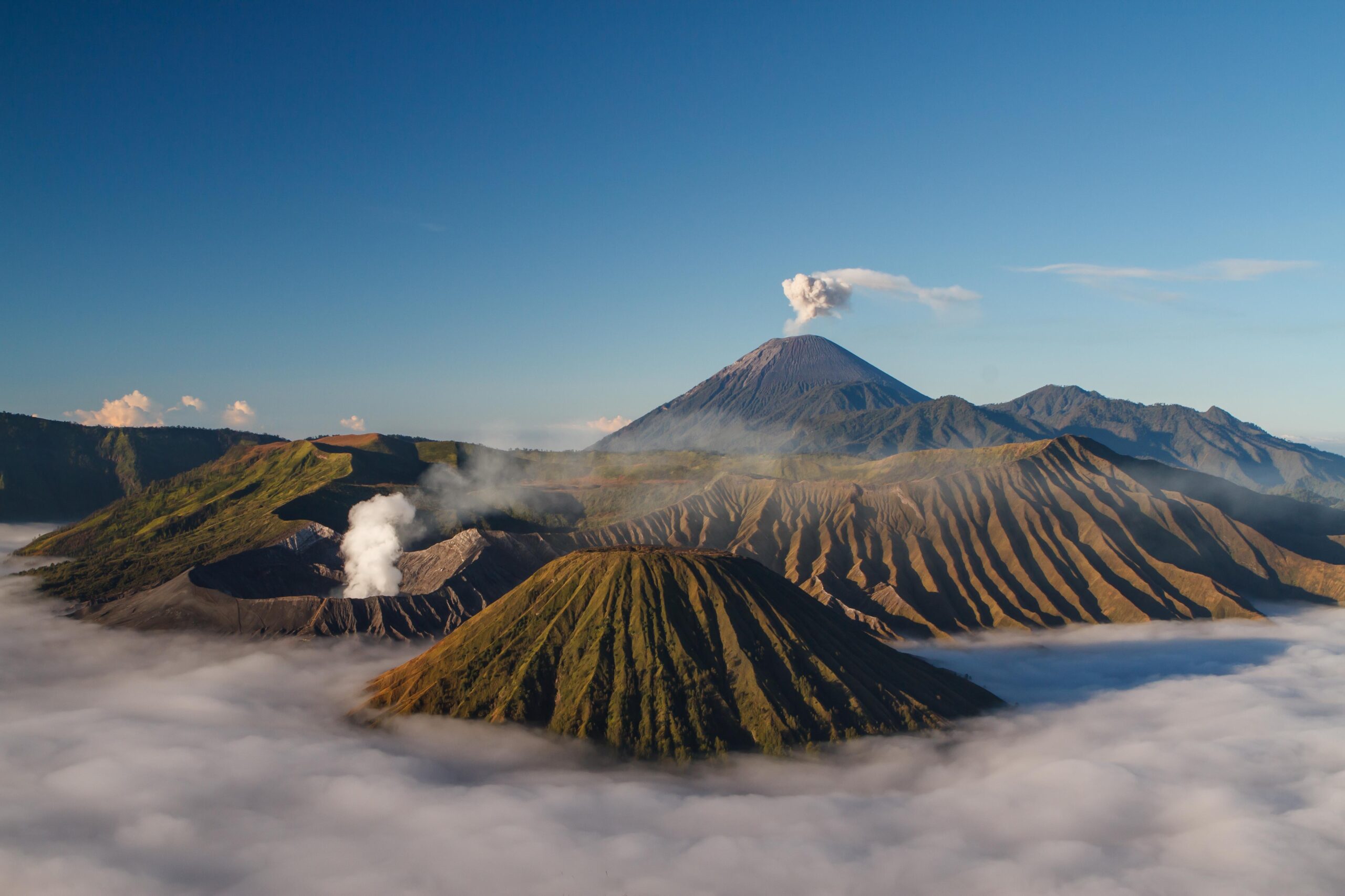
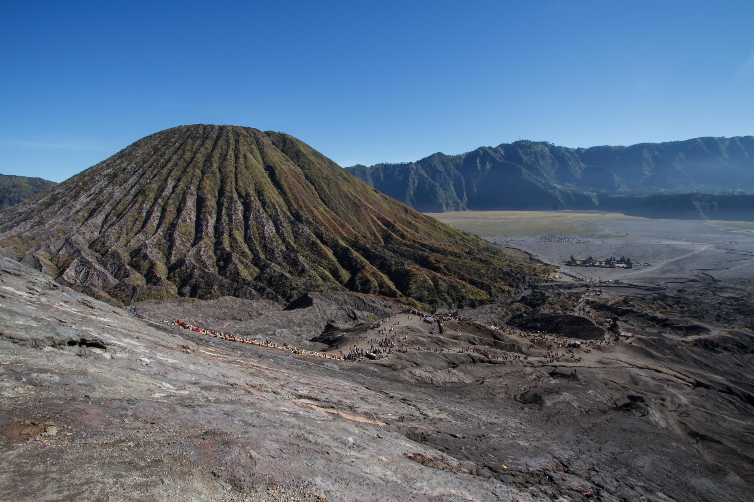
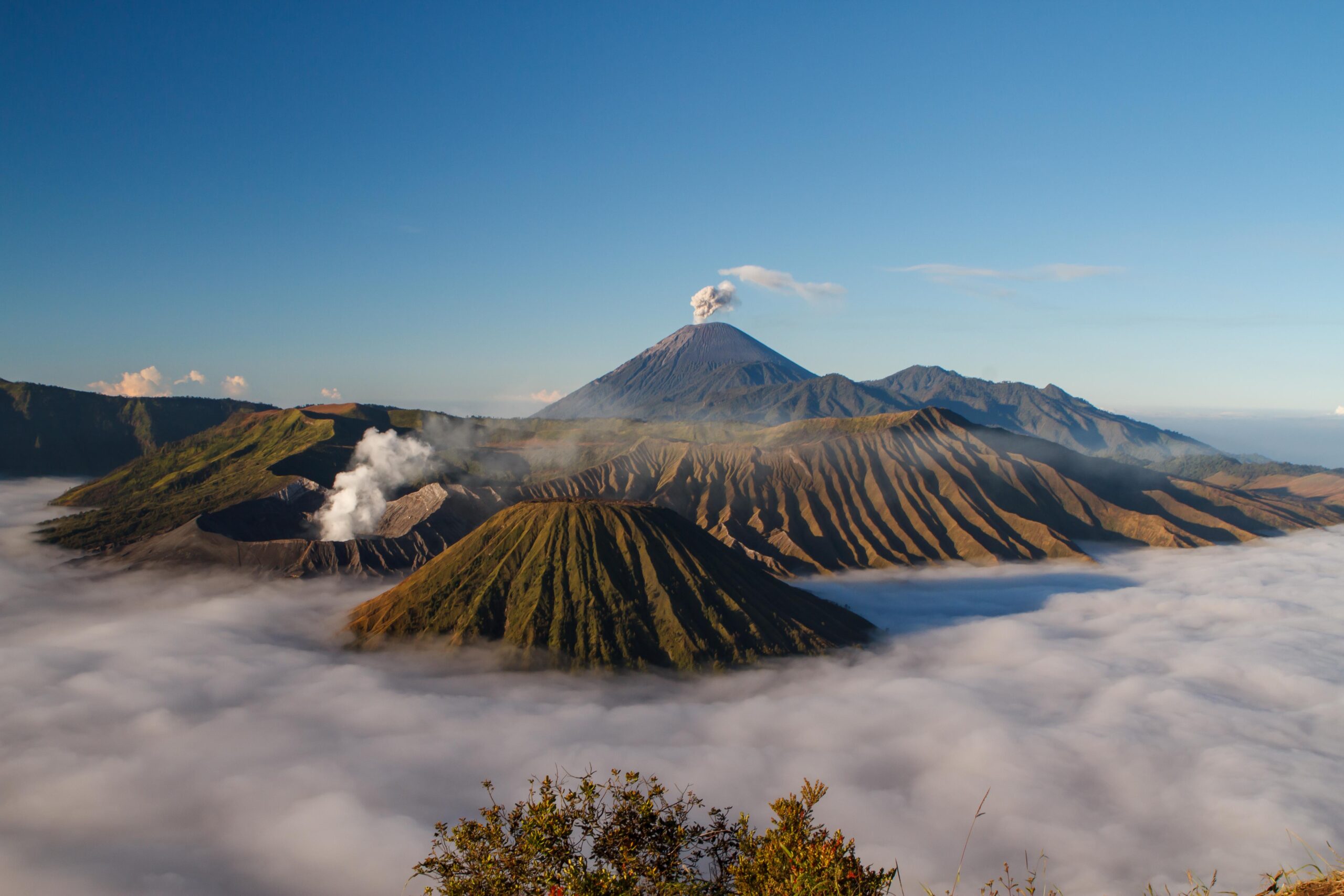
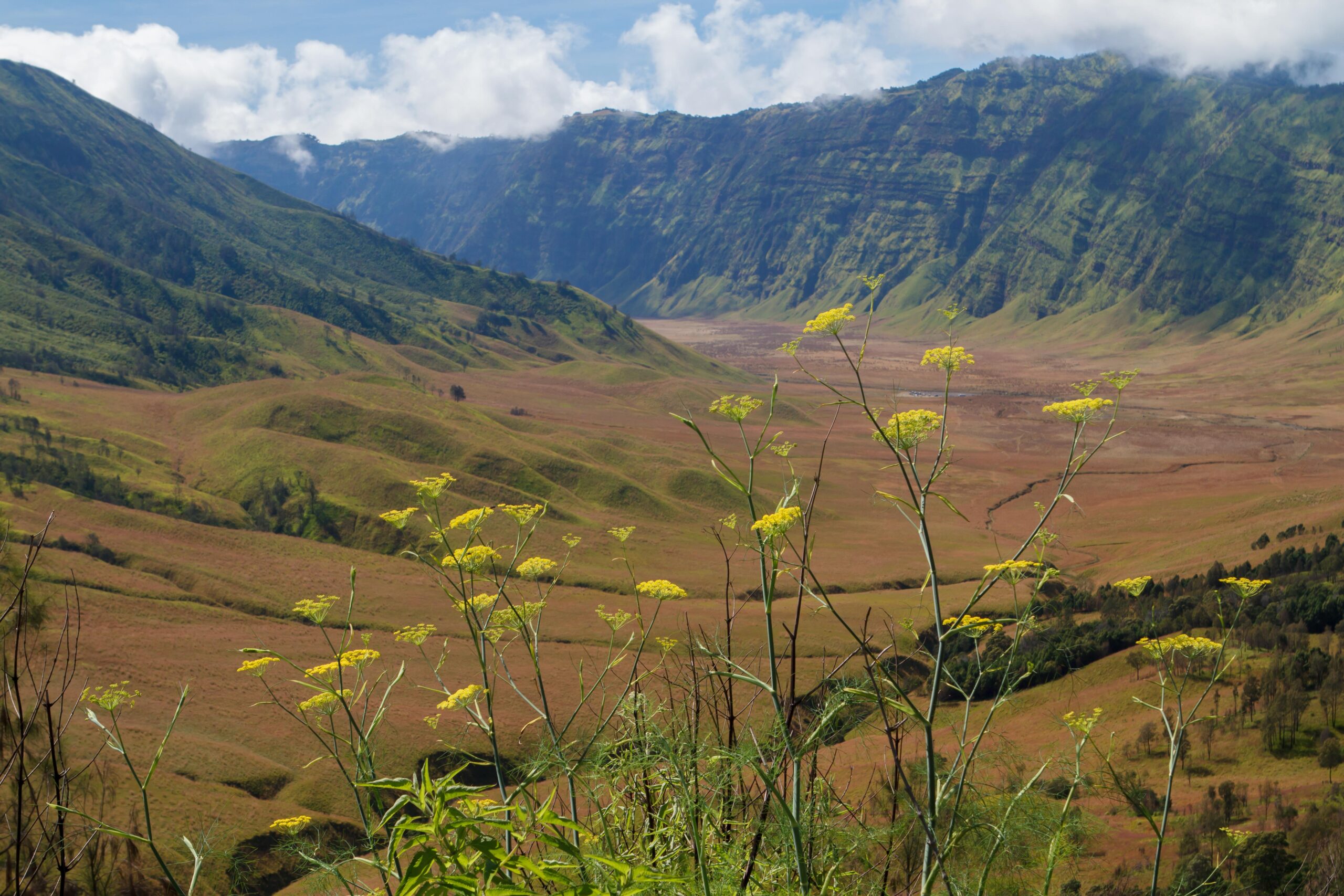
Gunung Bromo is an active volcano in the spectacular Bromo – Tengger – Semeru National Park in East Java, Indonesia. The 800 square kilometres park is one of the most popular tourist destinations in the country and consists of the caldera of the ancient Tengger volcano and Java’s highest mountain, the active volcano Mount Semeru, also known as Mahameru (3,676 m). Inside the Tengger caldera five volcanoes have emerged: Mount Bromo (2,329 m), Mount Batok (2,470 m), Mount Kursi (2,581 m), Mount Watangan (2,661 m) and Mount Widodaren (2,650 m). Another unique feature of the Tengger caldera is the Sand Sea, laut pasir, which covers a total area of 5,250 hectares at an altitude of about 2,100 m.
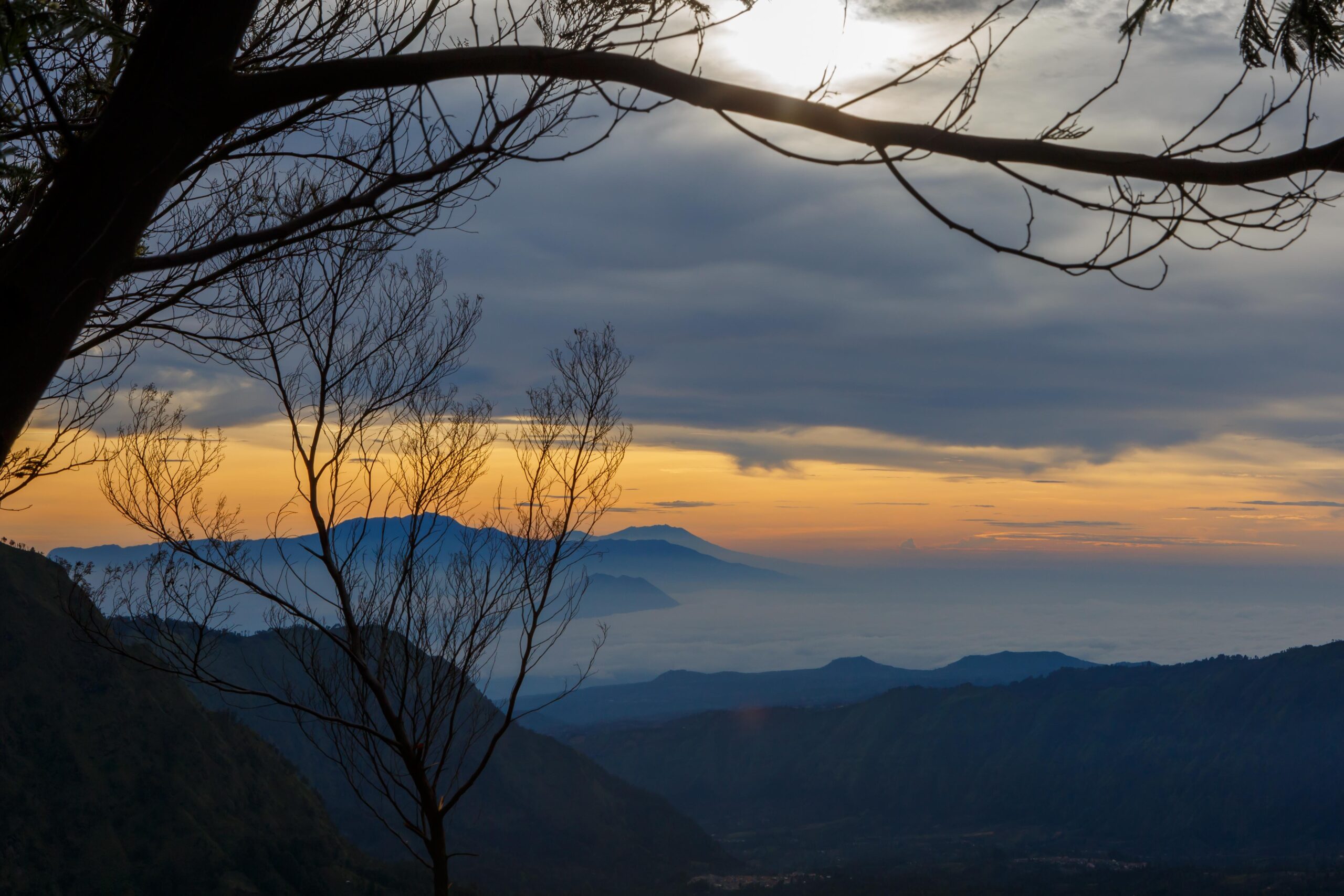
View from Penanjakan towards the east, where the sun is slowly appearing from behind Gunung Raung and the Kawah Ijen.
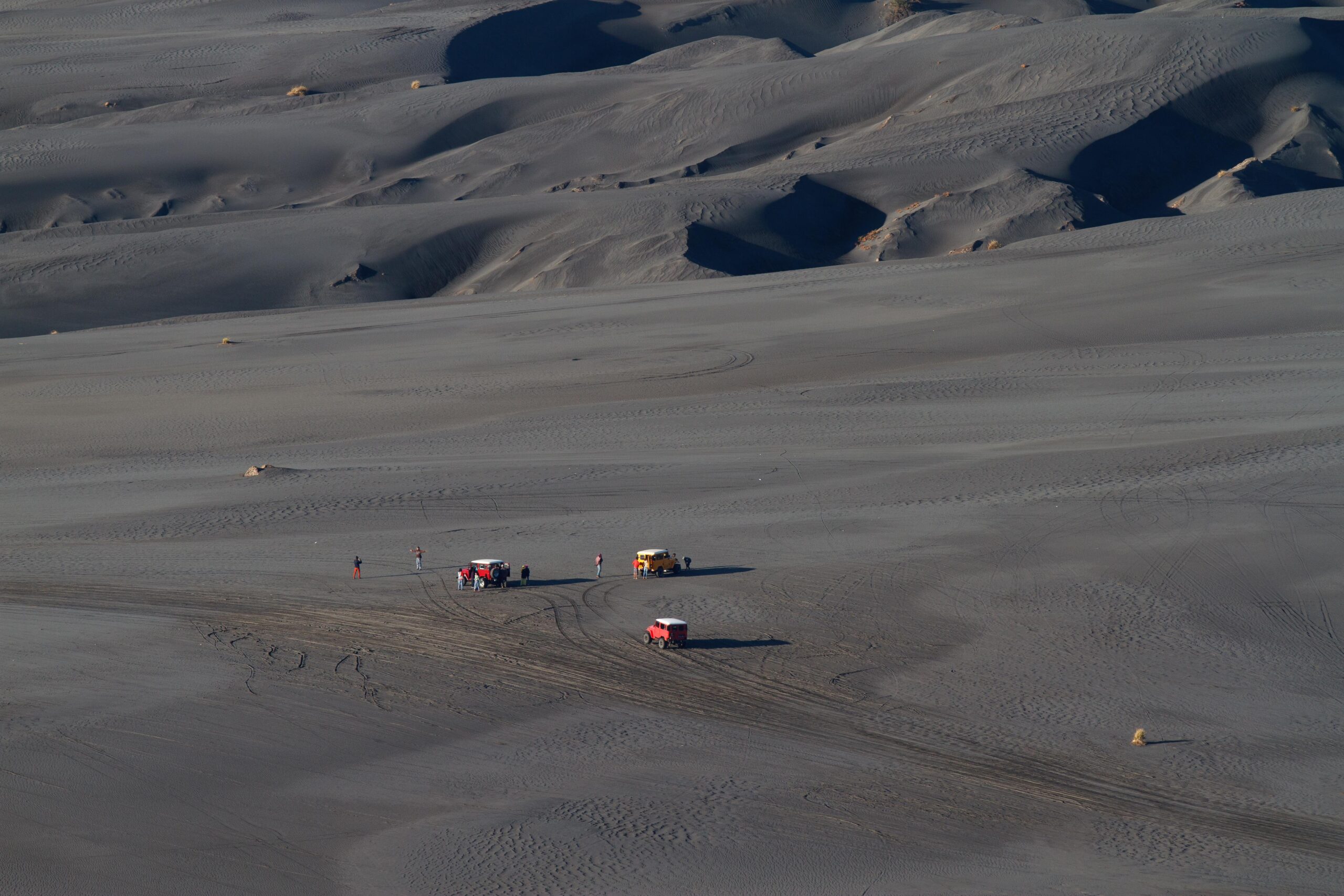
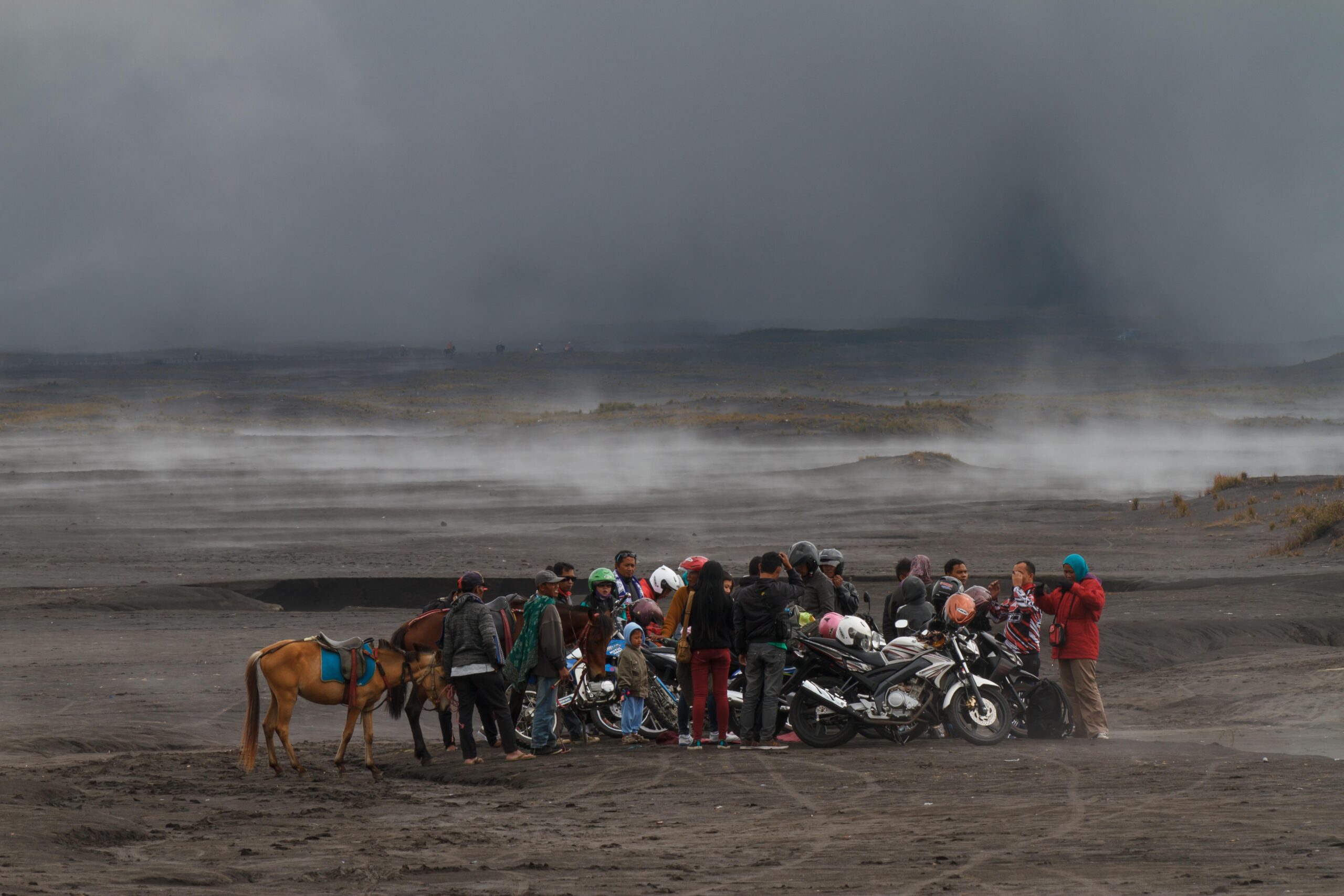
The “road” to the Bromo volcano, through the Sand of Sea. Long time ago you either had to walk, or rent a horse. Times have changed, but there’s still plenty of horses to bring people up the last steep part of the trail to the stairway leading up the Bromo…
What a contrast… But fortunately motorbikes can only get to the foot of the Bromo volcano and from there it’s either on foot or, by horse to the staircase leading to the volcano’s crater rim.
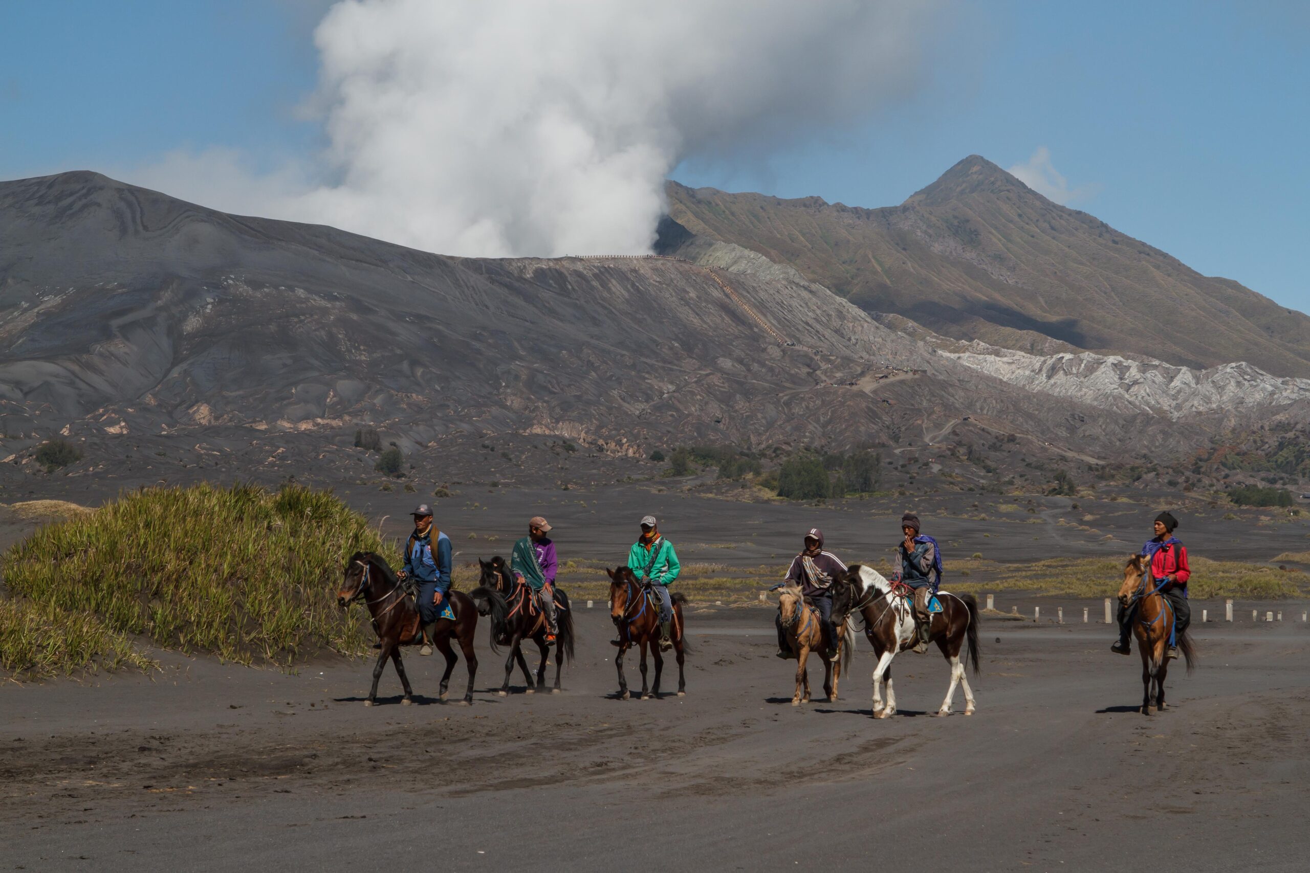
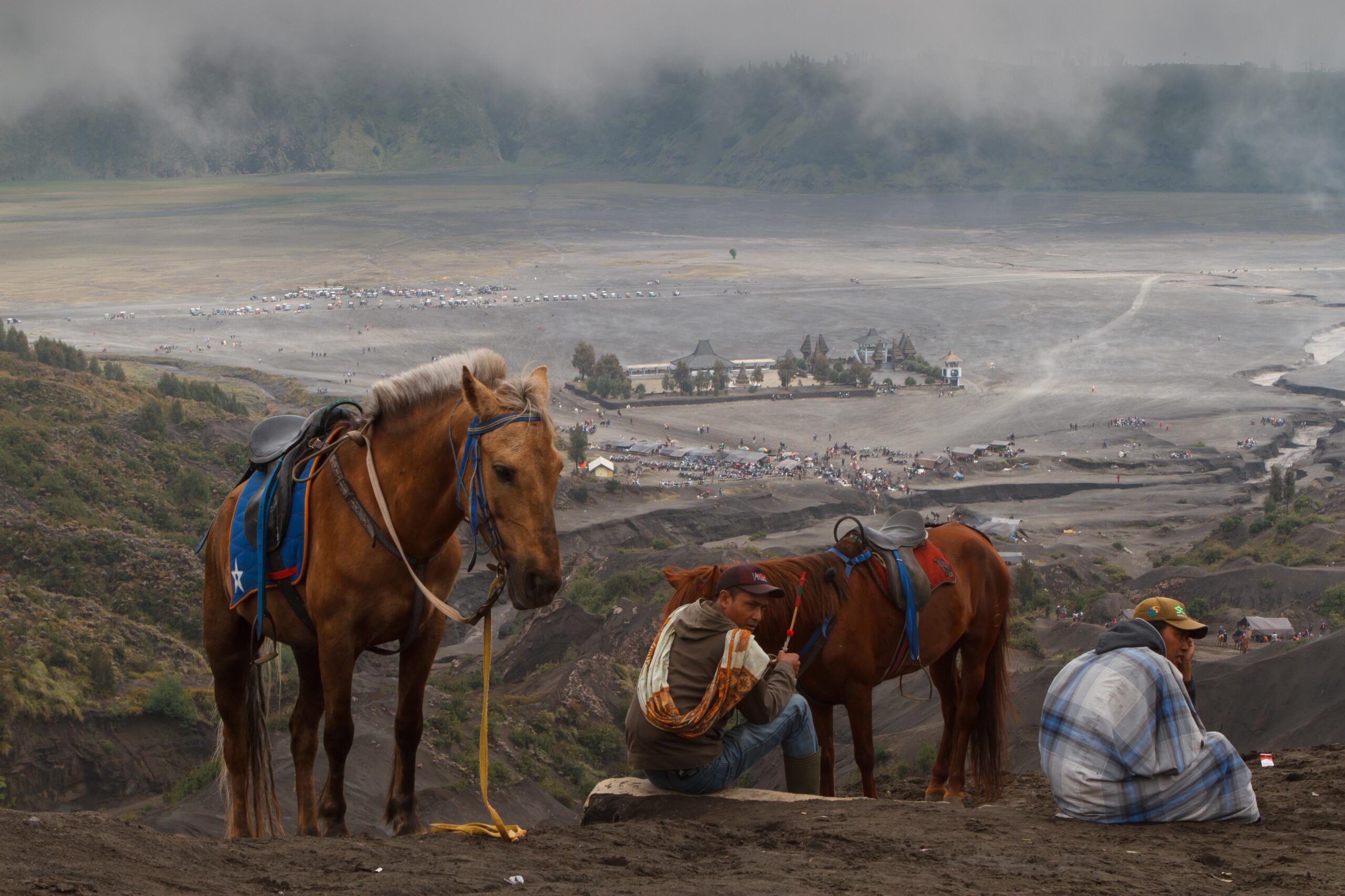
Tengger men waiting with their horses to bring tourists back down the slope of Mount Bromo. In the background the Hindu temple, a central place of worship for the local Tengger.
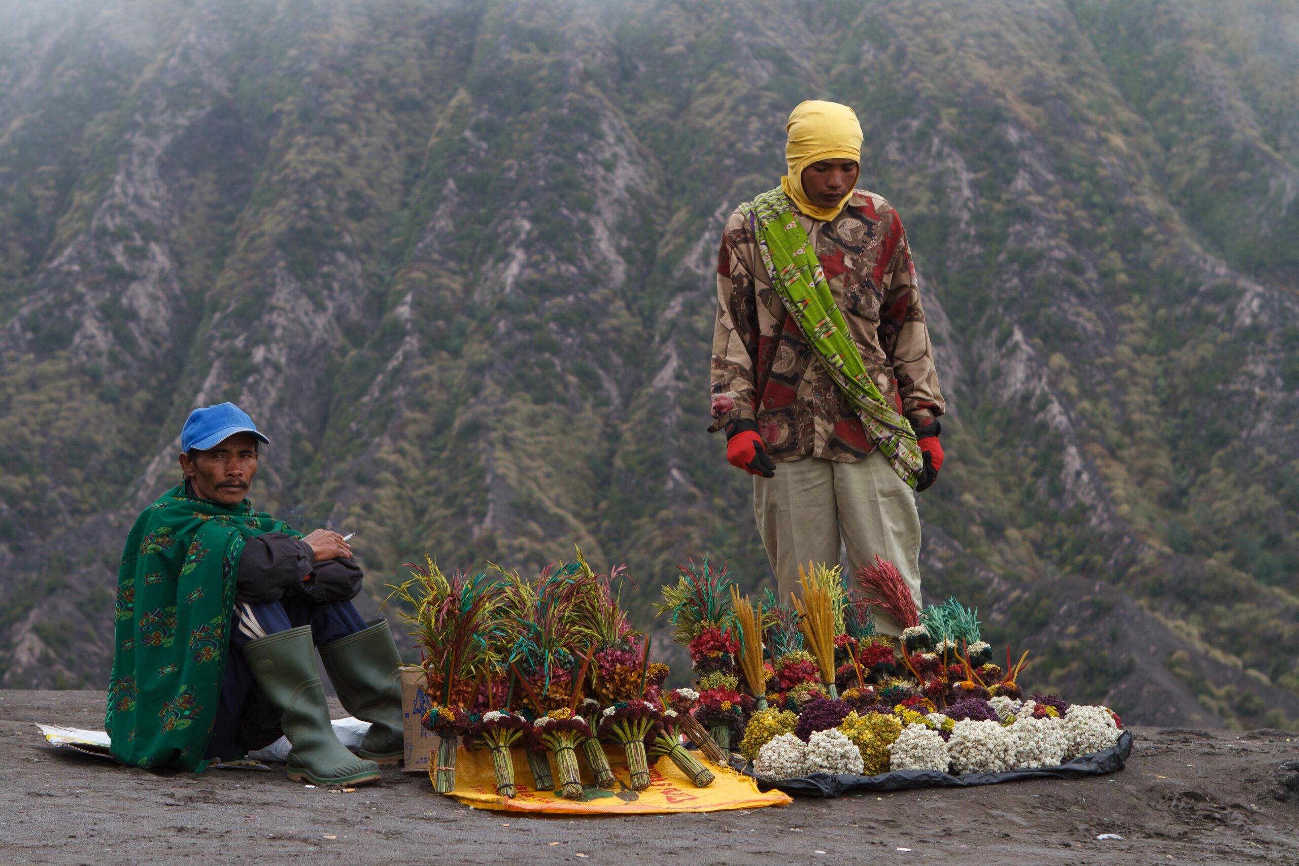
Local Tengger people sell bouquets of coloured Edelweiss, to throw into the crater as an offer to the gods, or simply keep as a souvenir. Once a year the locals actually throw food and even live chickens as sacrifice into the crater, asking the gods to safeguard them from the volcano.
Mount Batok, a dormant volcano right next to Bromo.
The most spectacular and famous view over the entire Bromo – Tengger – Semeru volcano complex is from a viewpoint called Penanjakan and this is the place to be to witness sunrise. There are actually 2 viewpoints: Penanjakan 1, closer to Cemoro Lawang, and the further away but higher and therefore offering a more spectacular view, Penanjakan 2. Nowadays almost all tourists go by jeep through the Sand Sea to Penanjakan 2, a rather chaotic and overcrowded place during weekends and holidays. Penanjakan 1 can only be reached by motorbike or on foot.
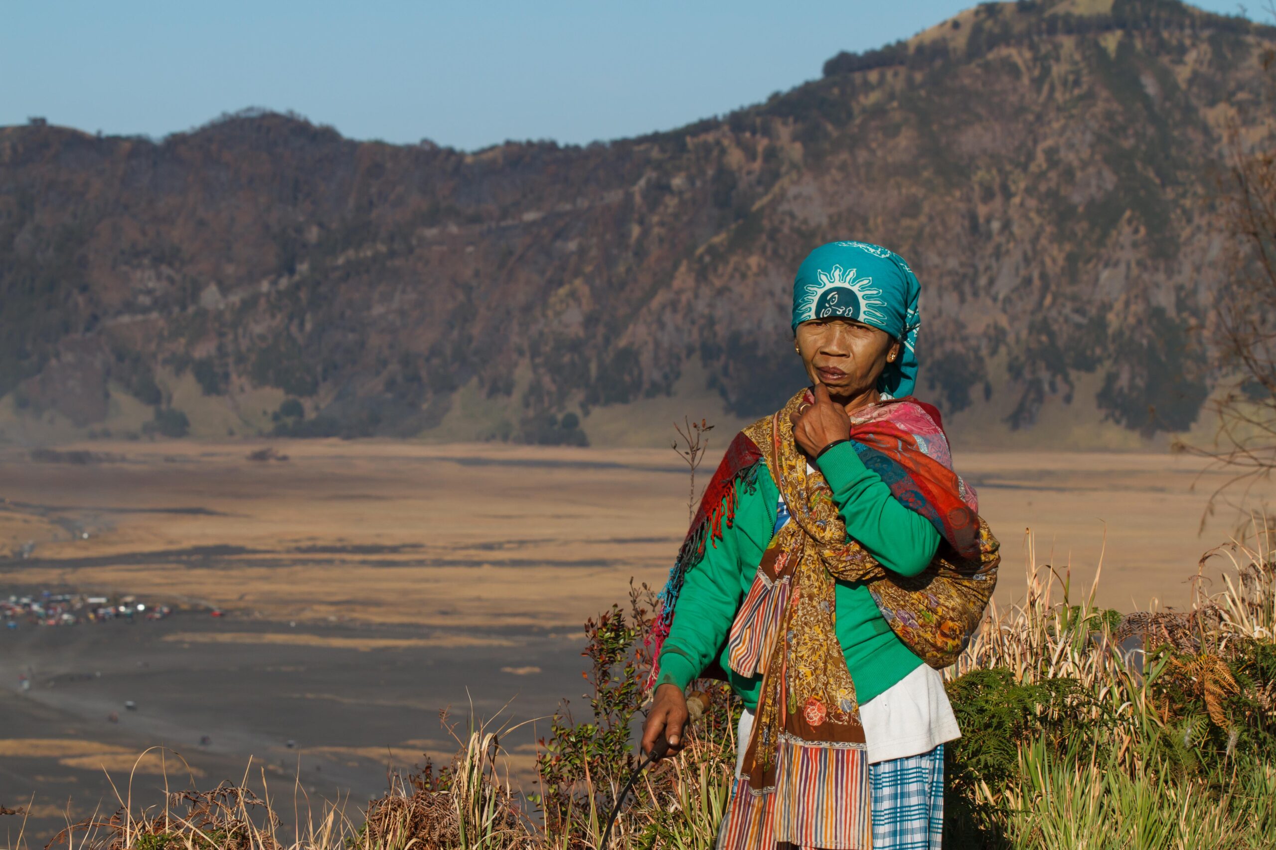
The area in and around the park is inhabited by the Tengger people, one of the few significant Hindu communities remaining on the island of Java. The local religion is a remnant from the Majapahit era and therefore quite similar to that on Bali, but with even more animist elements. The Tengger people are believed to be descendants of the Majapahit empire and were driven into the hills after mass arrival in the area of Muslim in the 19th century.
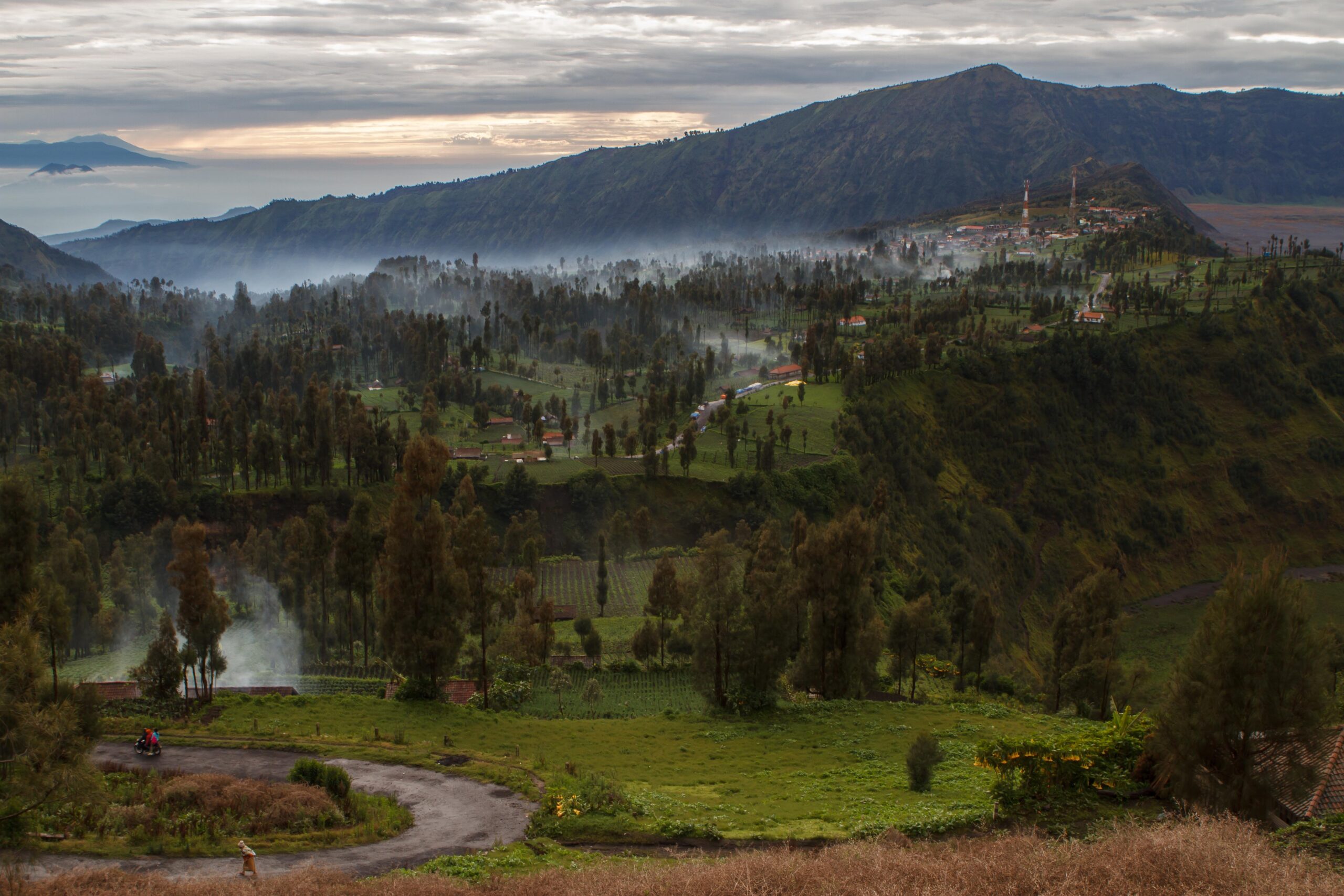
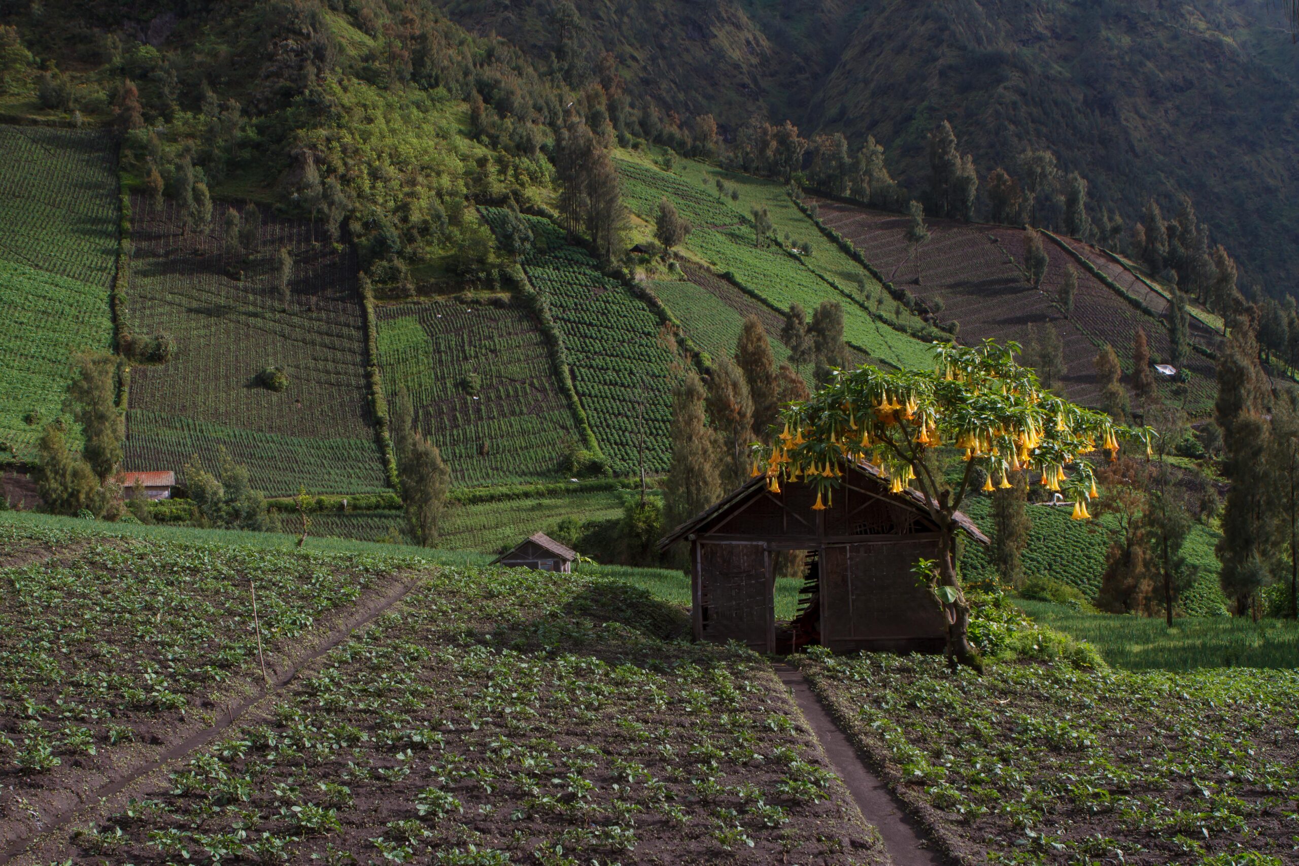
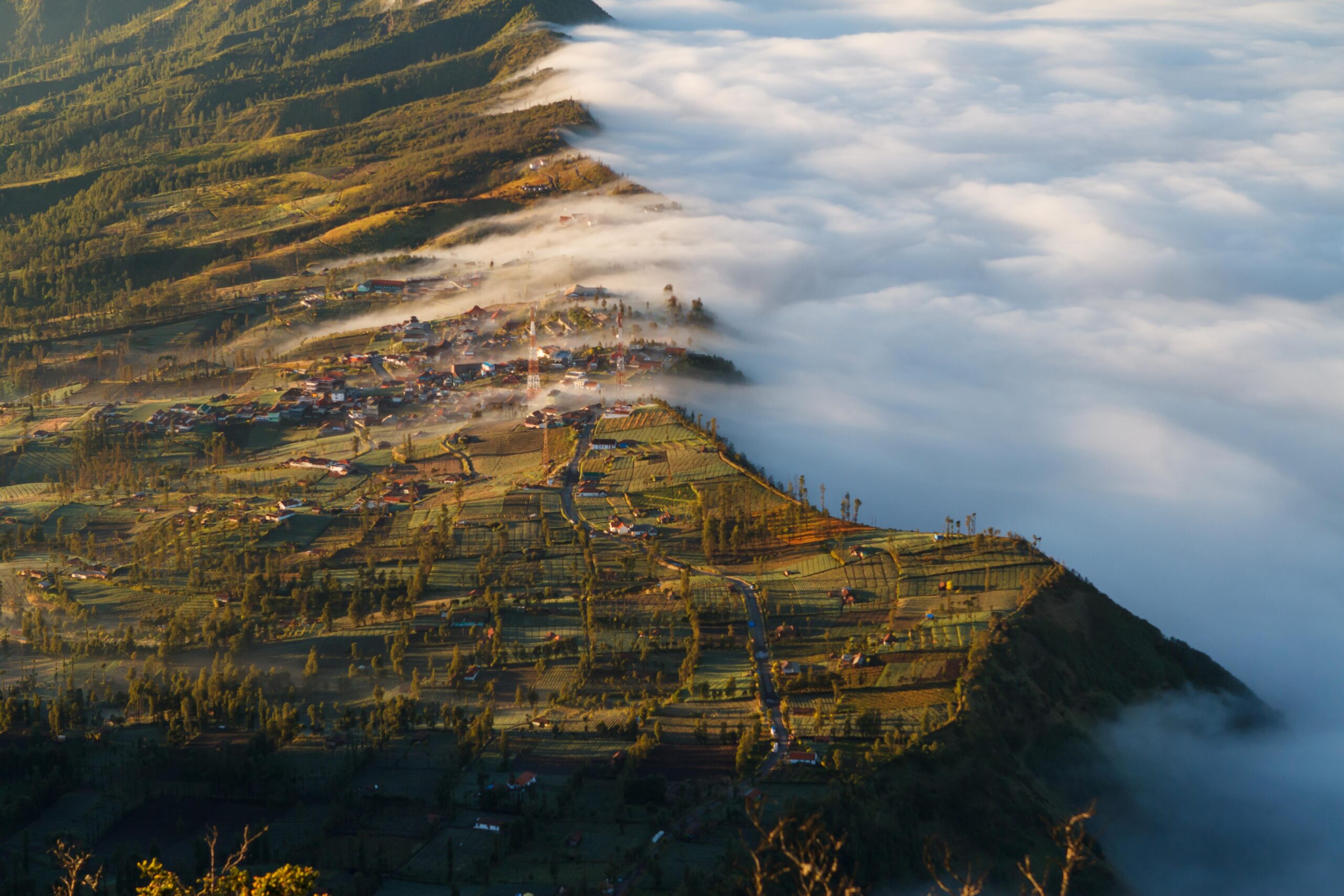
The tranquil Tengger village of Cemoro Lawang, located amidst a patchwork of vegetable fields on the edge of the Tengger caldera rim. It is the most popular overnight place for tourists visiting the park.
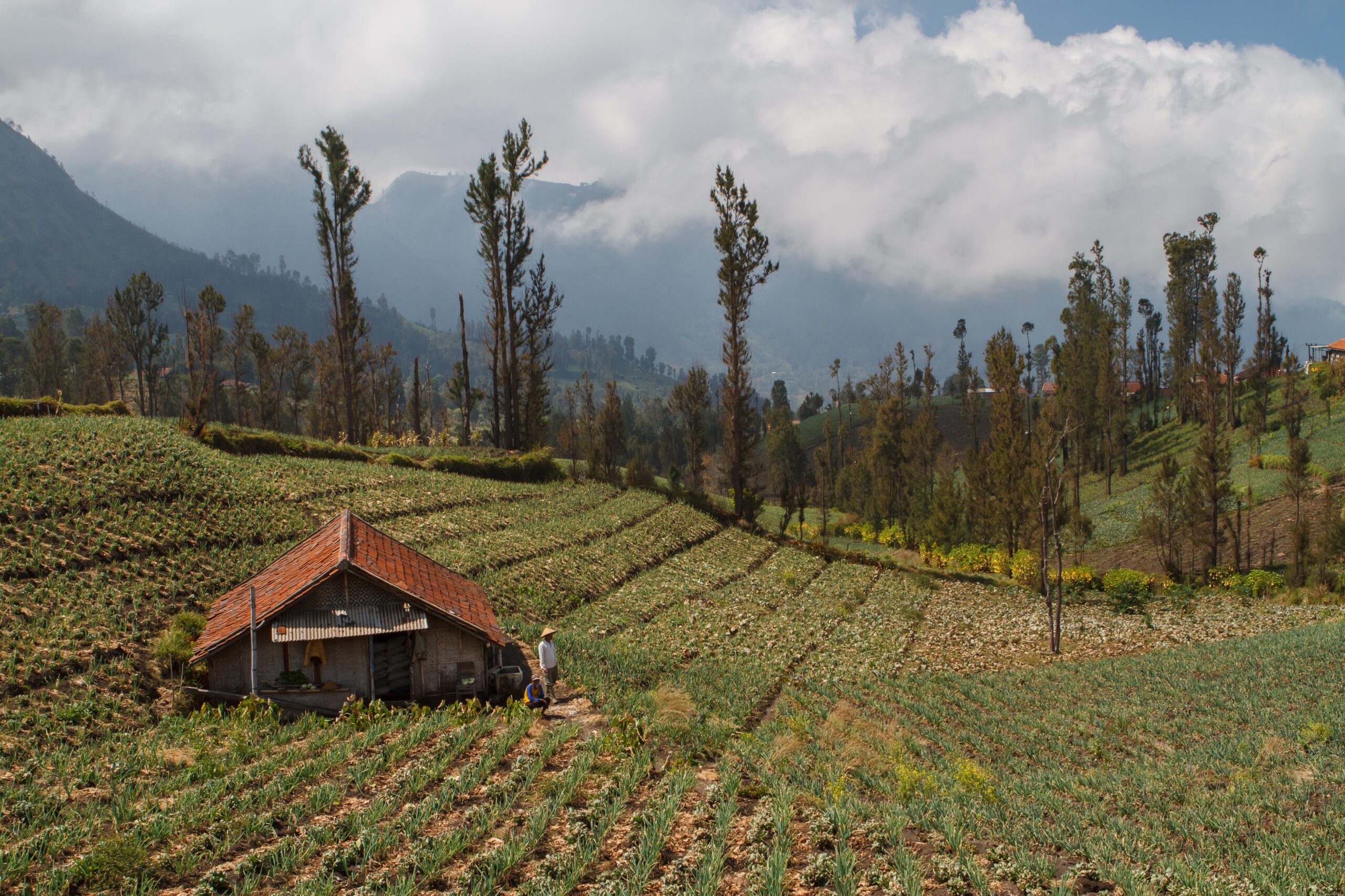
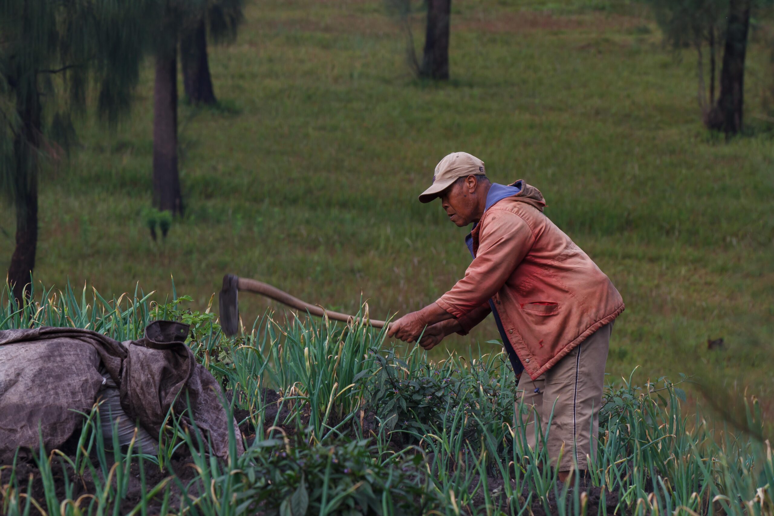
The native Tengger people grow all sorts of vegetables and fruits on the fertile soil on the outer slopes of the caldera, such as onion, potatoes, different kinds of cabbages, carrots, etc.
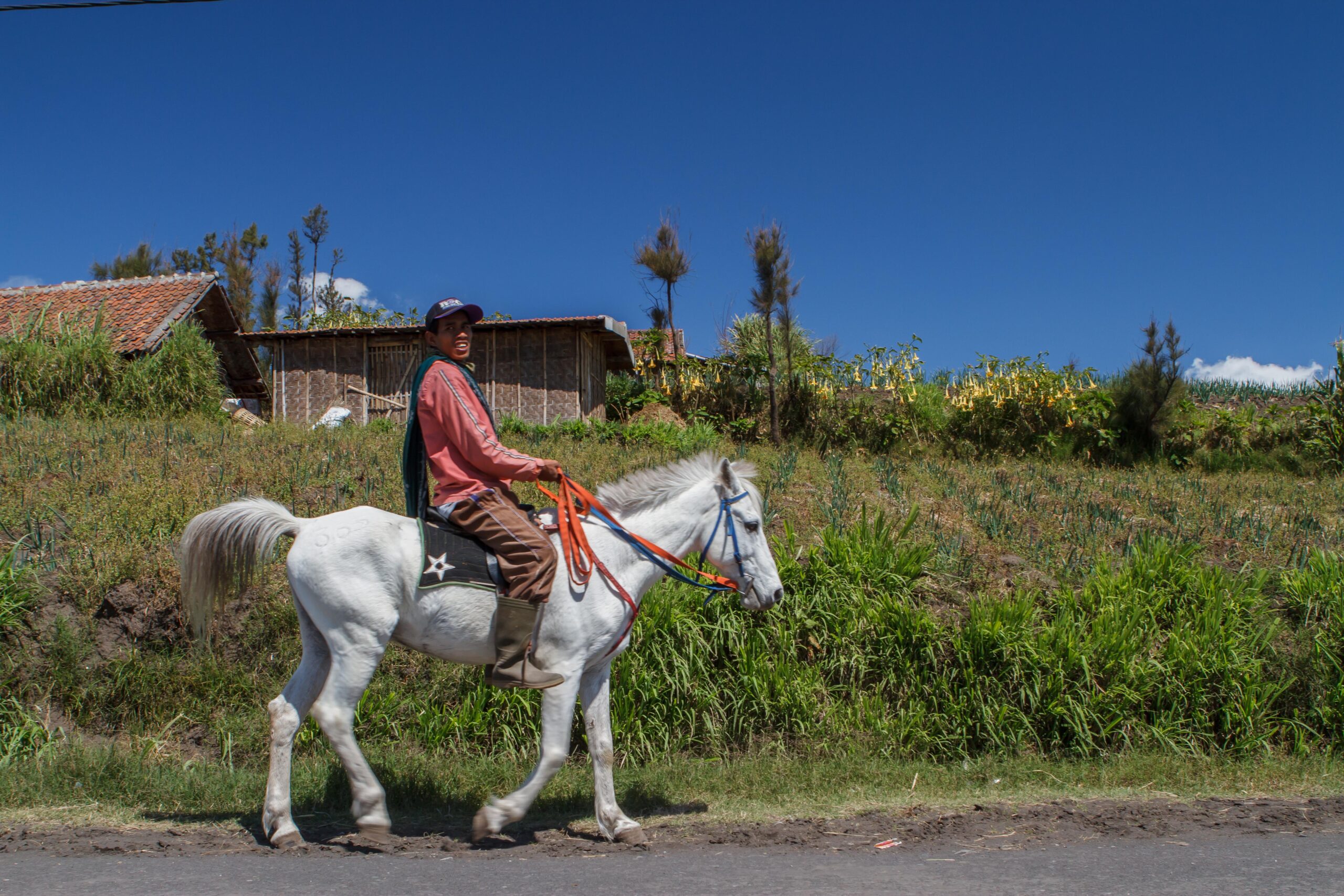
The Tengger people traditionally use horses to get around on the sometimes extremely steep slopes where they grow vegetables and fruit.
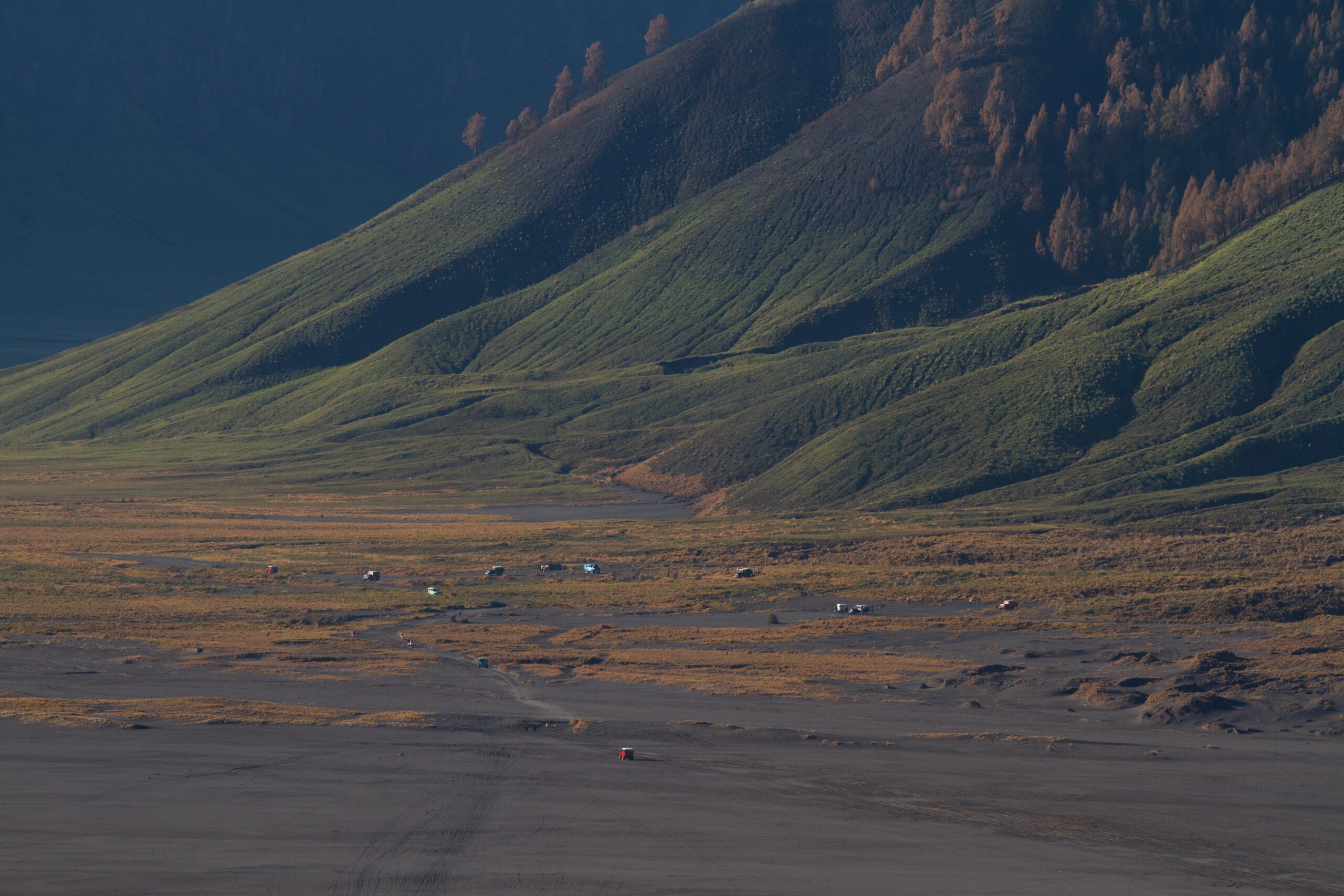
The Sand Sea changes gradually into a grassy savannah like landscape.
The grassy “Teletubbies” hills, in the southern part of the Tengger caldera.
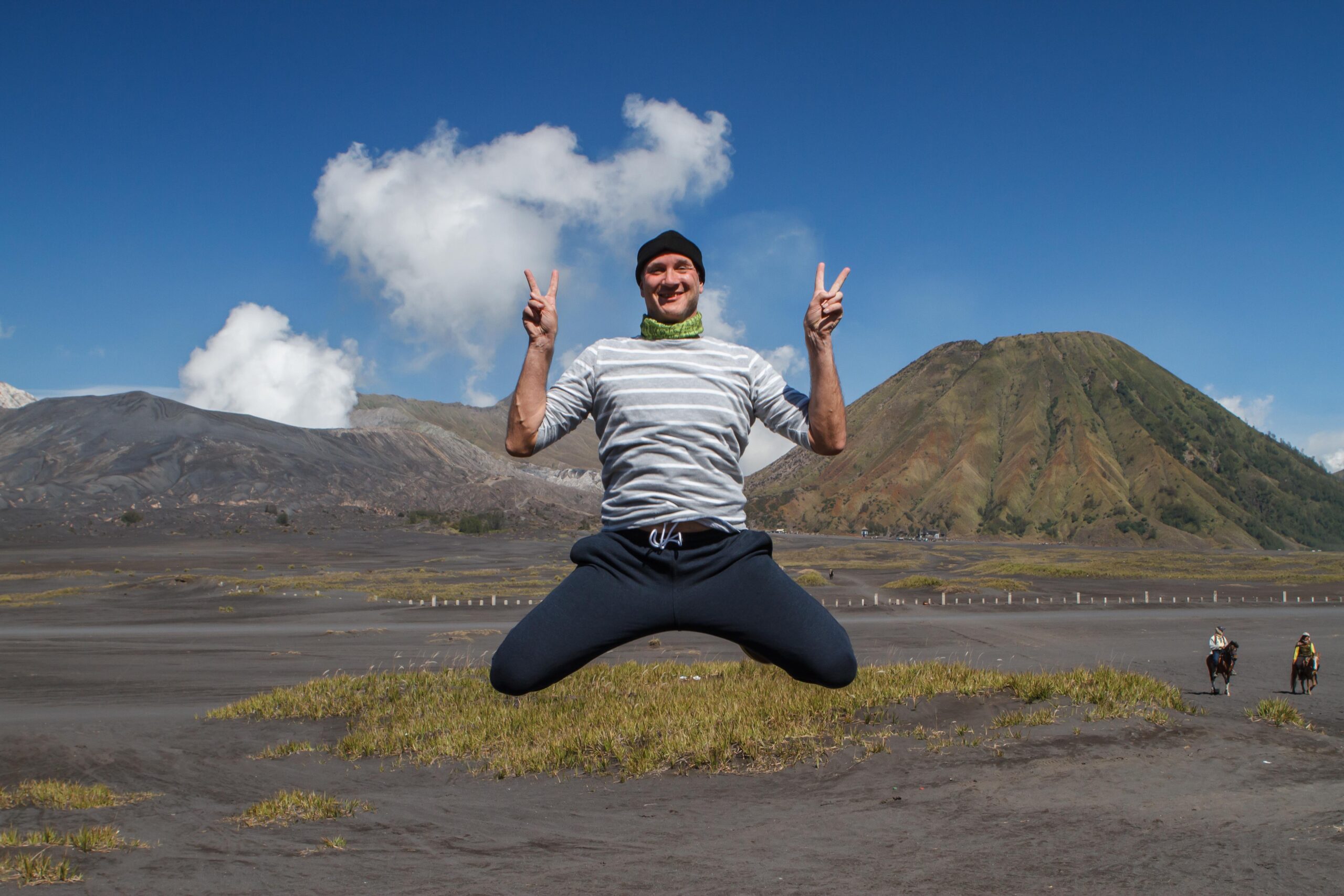
The smoking Bromo volcano on the left and dormant Batok volcano on the right. Oh, and me, hanging in between…
For my favourite photos of this destination check out the gallery: